
Smart Data Capture for Engineering and Industry
The inspection and analysis of industrial assets require accurate, up-to-date information obtained securely. At INCIMAT, we use remote data capture technologies—such as drones—to access complex areas, reduce operational risks, and improve the quality of information available for decision-making.
Our services combine visual inspection, photogrammetry, 3D modeling, and georeferenced data capture, providing a comprehensive view of the condition of industrial infrastructure, facilities, and structures.
By integrating these technologies with our expertise in structural and industrial engineering and advanced simulation, we are able to transform the collected data into high-value-added technical solutions.
Credentials
✓ Registered UAS operator
✓ Qualified personnel for drone operations
✓ Civil liability coverage
✓ Operational safety procedures
✓ Integration with engineering and technical inspection services
Sectors of Operation
• Refining and petrochemicals
• Energy and power generation
• Chemical industry
• Waste management
• Infrastructure
• Construction
• Logistics and warehousing
• Industrial facilities
• Civil engineering
• Environment
Our Capabilities
✓ Aerial Technical Inspection
✓ Photogrammetry
✓ 3D Modeling
✓ Digital twins
✓ Mapping and orthophotography
✓ Construction monitoring
✓ Industrial asset assessment
✓ Georeferenced data capture
✓ Integration with engineering and CFD
✓ Infrastructure monitoring
Industrial Inspection
We conduct visual inspections of industrial facilities, structures, equipment, and hard-to-reach assets, reducing risks and minimizing the need for work at heights or complex auxiliary equipment.
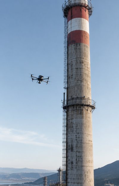
Industrial Chimney Inspection
We capture detailed information on chimneys, ducts, and elevated structures to assess defects, deterioration, cracking, corrosion, and overall condition.
Photogrammetry
We generate three-dimensional models and high-resolution orthophotos from images captured by drones, providing accurate information for technical analysis and project documentation.
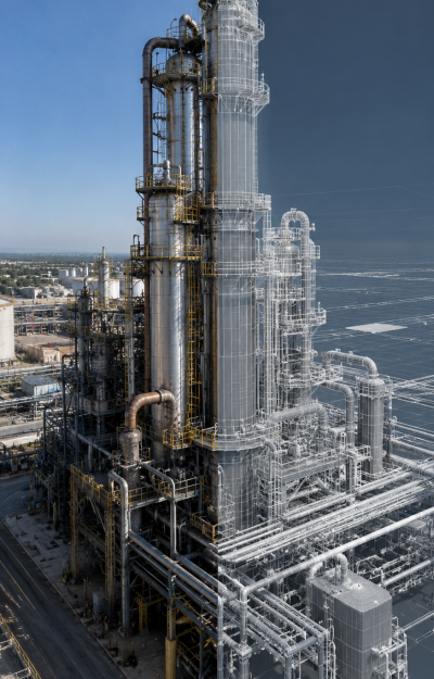
3D Modeling and Digital Twins
We develop digital representations of infrastructure and industrial assets that facilitate the planning, maintenance, rehabilitation, and management of facilities.
Construction Monitoring
We conduct periodic data-collection campaigns to document the progress of construction, rehabilitation, or demolition projects, providing up-to-date visual and technical information.
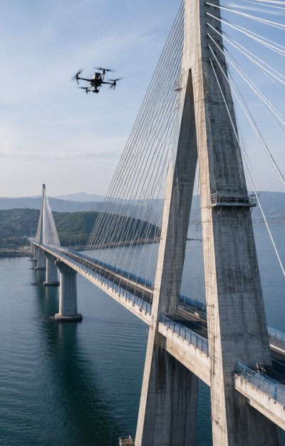
Infrastructure and Civil Engineering
We inspect bridges, roofs, towers, tanks, unique structures, and other assets that require periodic assessment of their condition.
Mapping and Orthophotography
We generate technical maps and georeferenced models for engineering projects, land-use planning, and infrastructure analysis.
Support for Engineering Projects
We integrate data collected by drones into structural, industrial, energy, and environmental studies, facilitating decision-making based on real data.